‘The Tooley Street Triangle” by Charles Holland Architects

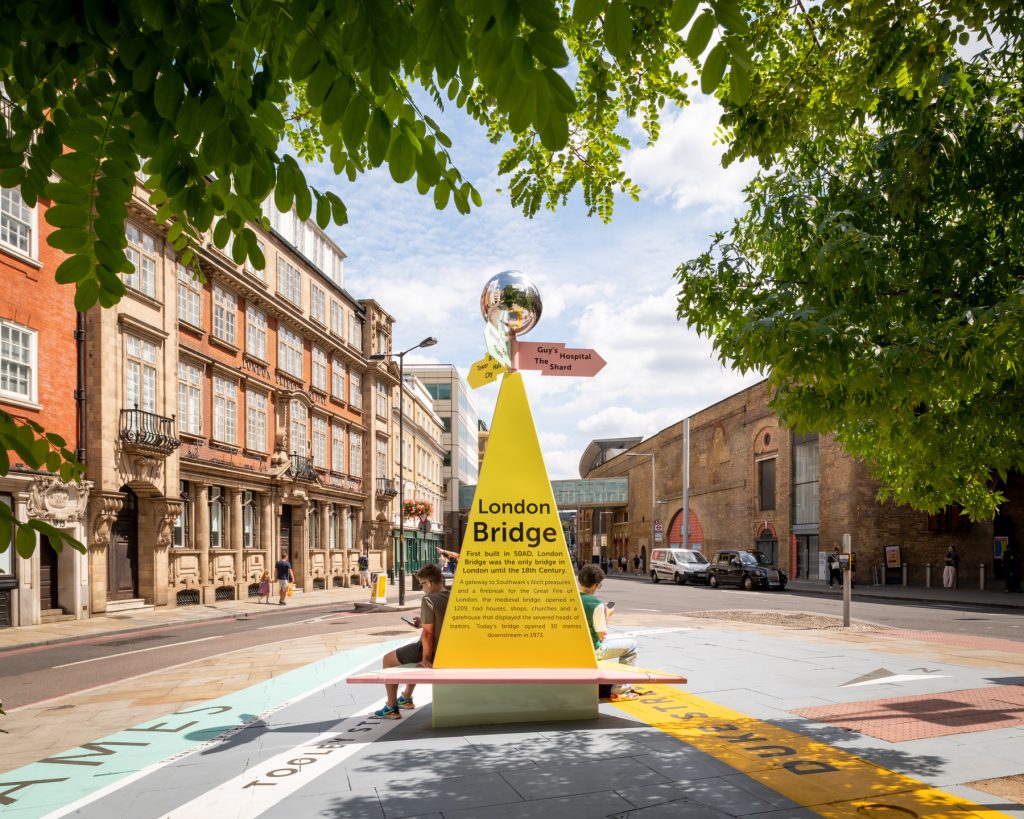
You are Here by Charles Holland Architects. © Jim Stephenson & Luke Hayes 2020
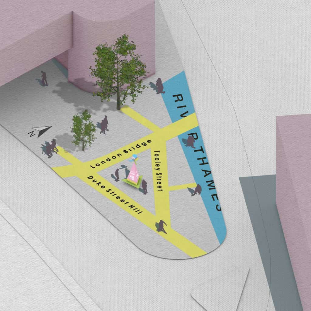
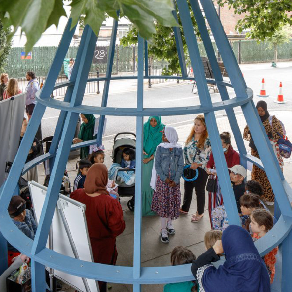
The Tooley Street Triangle is conceived as a map come to life, helping peoplewho use London Bridge to navigate their way around the area, and transforming an overlooked piece of pavement into a local landmark and meeting point. It has three elements: a scale map of the area around London Bridge printed onto the pavement, complete with street names and major landmarks, a giant signpost with local directions and information on it, and a bench for passers-by to take a breather. The Tooley Street Triangle also draws people from the busier main roads and signposts quieter routes with cleaner air, away from noise and pollution.

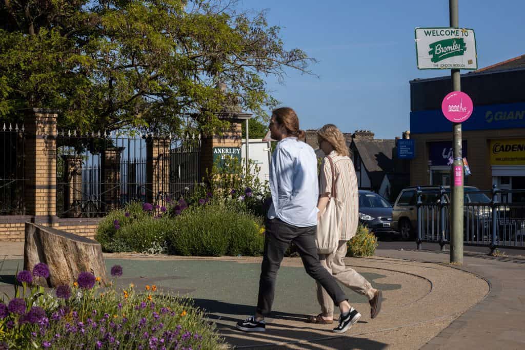
You are Here by Charles Holland Architects. © Jim Stephenson & Luke Hayes 2020
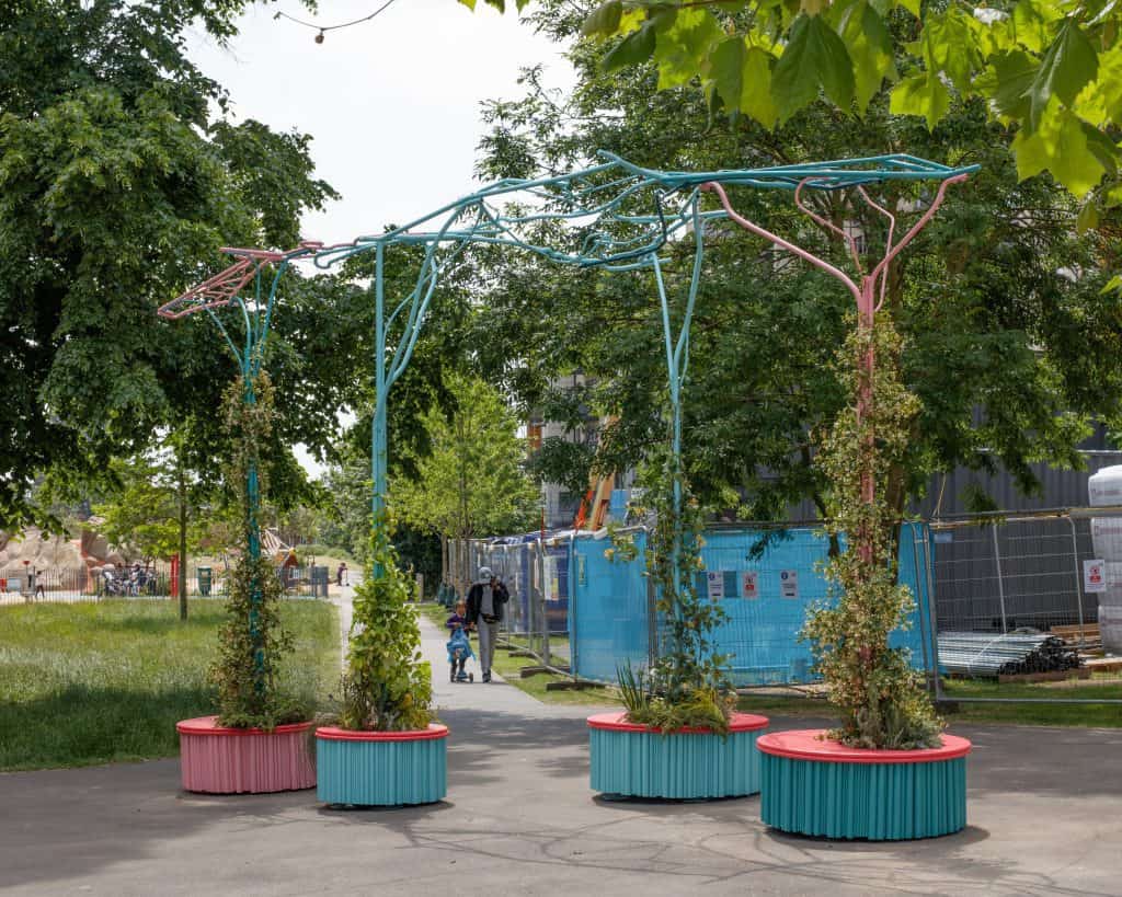
The Tooley Street Triangle forms part of the Borough Business Low Emission Neighbourhood which was supported by the Mayor of London. Other improvements delivered locally include new zero emission deliveries and freight consolidation, innovative and beautiful greening installations, and a number of clear air routes that take pedestrians to their destination along quieter routes, including one to Guy’s Hospital, which reduces pollution exposure by around 50%.

